Monday
Sulphur Works; Manzanita Lake; Upper Meadow
My mom joined us on the first day of trips to the national park, and we did a few easy things: Sulphur Works; and Manzanita Lake. They're on opposite ends of the main road through the park. There are other entrances, and next visit we'll be needing to see those, but CA Rt 89 North heads through the Park; the boiling mud pits of Sulphur Works are the first thing past the visitor's center.
The Summit Lakes trail is found there, and we'll do that hike in due time. It's short, but with a heavy elevation change.
The boiling mud is always cool to see, and being on the road itself makes for an easy walk:
 |
| Grandma and Cass |

From there we drove the road, which winds around Lassen Peak, the world's largest plug dome volcano. Here's a view from the road below the Devastated Area, the side of the volcano having blown and then sloughed off:

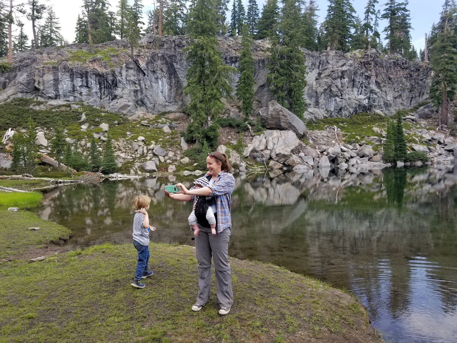
At the northern end of the road is a park exit, and Manzanita Lake. We got out and walked around, eventually pausing for a picnic table and snack.

Alpine lakes are beautiful respites, and Manzanita Lake is nor different. This spot has the heaviest visitation rates of Lassen Volcanic's many, many lakes, even though it looks sparsely visited this day.

Fallen logs can provide plenty of fun for young folks.
Afterwards, on the drive back the way we came, on the way out of the park, we stopped at Upper Meadow, a emerald patch of flatness surrounded by volcanic heritage:
 |
| Corrie and Cass |
 |
| Lassen Peak on the left |
The storm was cruising in, as thunder was audible the for entirety of the quick stop. We got rained on during the rest of the drive through the park, but as we descended in elevation, and while on the other side of the peak, the weather was sunny and hot by the time we made it back to the Cabin.
Wednesday
Terrace Lake, Shadow Lake, Cliff Lake
We decided to try one of the "Lake Hikes" the park offers. The round-trip mileage was over 3 miles, and the elevation change was around 700 feet, and it was rated a 2 in difficulty, so we were confident that Cass could do it without much assistance. My mom stuck around the Cabin pulling plumber-waiting duty.
The hike starts from between the Lassen Peak entrance and the Kings Creek Falls entrance. There are three lakes along the trail, none of which is as big as Manzanita Lake from Monday. These lakes are, in order, Terrace Lake, Shadow Lake, and Cliff Lake. Having seen them, the naming scheme makes little sense.
Once parking the car and hitting the trail, you notice right away: the hike is pretty much ALL downhill. That means the hike out will be all UP. That reality dawns about five minutes in, but you can't process it until you set out for the return.
The first lake shows up as you come around a bend, and is breathtaking:

It doesn't seem to deep, and you get the sense that you might be able to wade across it. Terrace Lake does not disappoint.
Away and up a little hill, Shadow Lake appears down the way, just a few steep swicthbacking minutes away:

The path around is well worn and obvious, and the depth is noticeable, as the blueness of the lake-floor darkens to VERY dark a few meters from shore:

Maybe ten minutes further along in Cliff Lake, or, more accurately, the remnants of Cliff Lake, or Cliff Pond:

The sand comprises much of the ground above, but the noticeable green is from the very bottom of the lake, the silt and dirt that accumulated growing new grasses. The water itself is coffee-like in color.
We turned back and headed to Shadow Lake for a snack:

At one point during our break I turned and looked over our shoulder. The sky behind was inky with storm, and very dark. Thunder began to sound as the storm rolled in. We got a move on.
There is difficulty on an uphill-hightailing for more than a mile, but we made it, only getting a little rain as we made it to the car. Some clouds began to shroud Lassen Peak:

As we drove back to the Cabin, my legs felt like jelly, quivering. Cass, who walked the whole way, save for one vertical switchback, was in his seat with his second wind, dancing in place and singing the praises of Alpine life.
Kids...am I right?
Thursday
Kings Creek Falls
This remains one of the more popular attractions at the park, and maybe the most popular attraction without its own parking lot. And rightfully so.
We tried to arrive early enough so we could easily park, as well as beat the foot traffic. This mostly worked.
The path is large in the beginning, as the trail arcs away from the street parking above, and snakes beside a meadow. Once the switchbacking starts over dust covered rocky path, the sound of waterfalls thunders away just out of sight. You can't really see anything until you get towards the bottom of the path, to the main falls. I've listed the series of waterfalls visible on the hike in the order that I saw them.
The first is at the spot where the switchbacking finally ends and the return trail one-ways itself back up. It was beautiful:

From there, one path continues with the creek to more spectacular locales, while another follows upstream, along a steep stairwell, the one-way return trip: six flights of stairs up and out.
We went downstream, to the look out point at the proper Kings Creek Falls:

What you really learn on the hike, though, is that rather than a single waterfall, this was more of a system of waterfalls of different kinds as the snow melt works its way to lower elevations.
As you work your way up the stairs, more of the waterfalling areas become visible:

And further up, the falls keep coming:

Just behind the very top of the rocky stairwell, the falling action is gentle, but there:

That looks like five distinct waterfalls, all part of the system. It was the prize that kept giving; as you kept walking, you kept getting new beautiful sights.
Here's Cass on the dusty stairs:

Beers at the park's visitor center never tasted as good as those Wednesday and Thursday afternoons.
No comments:
Post a Comment